Interactive Nepal
Original Post
I developed this simple Interactive map of Nepal. I am working on other interactive graphs and charts about Nepal. It might be useful for school kids to learn about Nepal. Also might help people who is interested to learn more about our country. If anybody have any suggestion or comments, it will be really helpful. http://fuetec.com/nepal/index....
helpjava11
Jul 16, 2014 11:05 AM · 12,631 views
6 Replies
Login to join the conversation.
You might be interested in...
Latest Kurakani
View all





Recent Classifieds
View all
-
 Queens, NY ·
-
 Hiring FeaturedAmarillo, TX ·
-
 Looking for Hair Stylist FeaturedArlington, MA ·
-
 Employees Needed FeaturedBoston, MA ·
-
 Part time Help Needed FeaturedWeston, MA ·
Upcoming Events
View all
-
 Nov 7, 2026 10:00 AM · Sydney / NSW · 450 views · Tihar
-
 Dec 19, 2026 7:00 PM · Greater London · 368 views
-
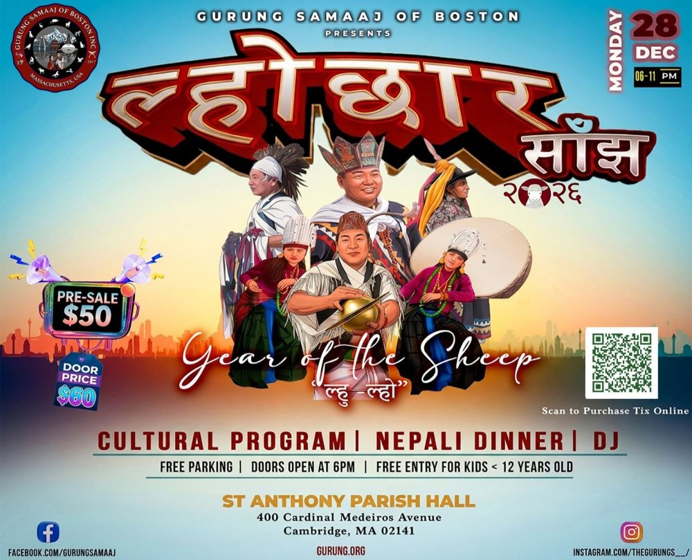 Lhocchar Saanjh by Gurung Samaaj Boston Cultural EventDec 28, 2026 6:00 PM · 45 views
Service Providers
View all
-
✓Everest Solar Solar ServicesWoburn, MA · · 345 views
-
✓Vianet Communications OtherKathmandu · · 653 views
-
Everest Solar and HVAC HVAC TechnicianWoburn, MA · · 299 views
-
Norwood Spice RestaurantNorwood, MA · · 241 views
-
Evolve Health DoctorDenton, TX · · 183 views